What Are the Ethical Issues Surrounding Remote Sensing in Tropical Forests?
Remote sensing technologies, such as Lidar, have revolutionized the study of tropical forests across many disciplines, ranging from forest ecology to archaeology. They allow scientists to see through the dense forest canopy and obtain high-resolution images of the landscape below. However, they also raise ethical questions about the territories being mapped. Scientists from the University of Toulouse and the IRD address these questions in an article published in September in Nature Ecology and Evolution
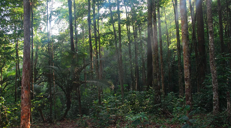
For a long time, the understory of tropical forests remained out of reach of scientific instruments: beneath a dense canopy, remote sensing stopped at the treetops, and only field missions could provide further insight. Lidar (light detection and ranging) has changed all that. When mounted on an airplane or satellite, it emits laser pulses, some of which pass through gaps in the foliage to reach the ground, making it possible to reconstruct a three-dimensional model of the forest’s structure, down to individual tree trunks. P-band radar, whose long waves penetrate the foliage, offers another way to survey vegetation from the air.
These technologies make it possible to track changes in forests with ever-greater spatial and temporal resolution. In archaeology, LiDAR also reveals landscapes shaped by past societies and opens up new possibilities for detecting new archaeological remains in hard-to-reach areas, such as the Amazon. But this growing observational capability—often measured by the discoveries it promises—also raises ethical questions about the territories being mapped.
Read more on the Université de Toulouse website.
Contact GET: Sylvain Kuppel